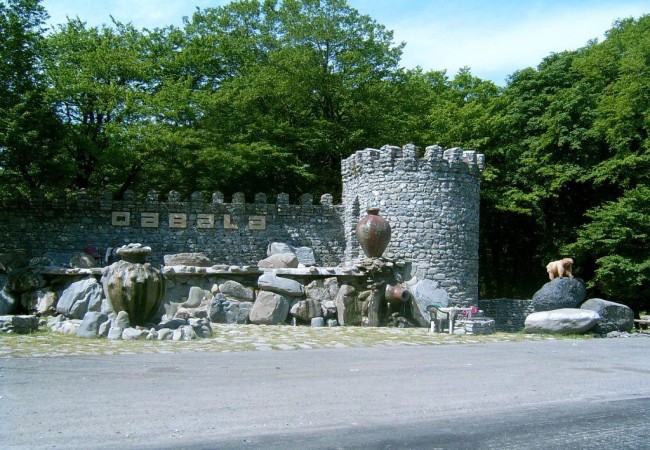
About Gabala
distance between the cities of Baku and Gabala: 225 km
The physical and geographical conditions:
the city of Gabala is at the north latitude of 39.47-41.00 and between the east longitudes of 47.52-48.02
Territory: 1.550 sq.km
Number of cities, settlements and villages:
1 city (Gabala), 3 settlements (Vendam, Bum and Nij). These inhabited districts are governed by 60 territorial administrative bodies and 55 municipalities.
Population: 97.849
The density of population: 63 persons per square kilometer
The frontiers: they pass along the southern slopes of the Greater Caucasus to the North-West of Azerbaijan and to the East of the Sheki-Zagatala region. In the north – on the Chadash chain of the Greater Caucasus, they border upon the Daghestan Autonomous Republic (Russia), the Shahdag chain, the region of Gusar (stretching as far as the region of Guba in the north – east towards the Salavat pass) and the region of Ismayilli in the east along the valley of the Goychay river. In the south, the frontiers reach the regions of Goychay and Agdash (mount surkhay) along the chain of the low Akhar – Bakhar mountains. They border on the regions of Sheki and Oghuz, along the valley of the Turyalchay (Tikanlychay) river, in the west
Climate variations: sub-tropical, moderate hot, cold climate type, mountain tundra
Total amound of land: 150.000 hectares (38-40% of the lands is used for agriculture).
Types of soil: brown mountainous-forest, turf covered mountain-meadow, turf covered mountain-forest, mountain dark chesnut colored, solid clay, middle clay, light clay
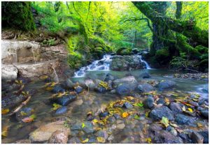
Forests with rare trees: the oak forest of Shabalydyarpag, the valley of eastern plane trees, the grove of Oriental beeches (fagus orientalis).
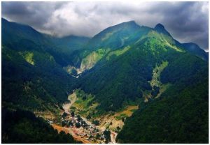
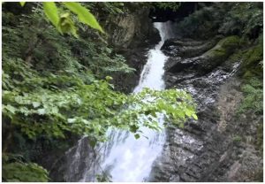
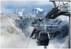
The landscape: Predominantly mountains. The mountainous zone almost 40-45% of the total area.